The SENDAI Framework required national governments to prioritize disaster risk reduction (DRR) and climate change adaptation (CCA). In response, local government units (LGUs) were directed to integrate DRR/CCA into their planning processes. In 2017, the MDRRM Office of Sanchez Mira created a manual database for DRRM, Local Climate Change Action Plan, and Contingency Plan. This database facilitated the formulation of GIS-based hazard maps, simplifying vulnerability and risk assessments.
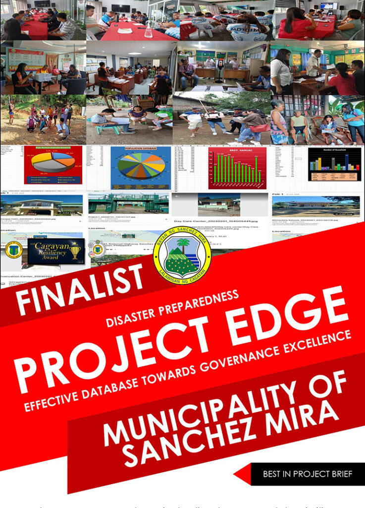
Recognizing the need for science-based planning, the LGU initiated the 3-year Disaster Resilient and Responsive Program Management for Local Governance (DRRM for Excellence) Project in 2022. It comprises three components: (1) Effective Database towards Governance Excellence (EDGE); (2) Formulation/Updating of science and risk-based development plans; and (3) Strengthening Institutional Capacity on Procurement and Results-based Monitoring and Evaluation (M&E).
Project EDGE is an automated database system merging various data requirements, including ecological profiles, climate and disaster risk assessments, and community-based management. It is geo-tagged and integrated into GIS maps for easy access. Each household receives a QR code for identification during disasters, facilitating access to government programs. Developed by local programmers, Project EDGE enjoys community ownership, supported by a Council Resolution from the MDRRM Council. Despite its simplicity, Project EDGE promises significant outcomes for the community, particularly the most vulnerable sectors.
